Accueil
Les collections
Les revues savantes
Les cartes
Histoire de l'Université
Recherche
Recherche dans les données descriptives
de 114
2451–2475 sur 2835
Trier par
Pertinence
Titre (A-Z)
Titre (Z-A)
Date (+récent d'abord)
Date (+ancien d'abord)
2835 items
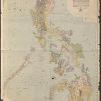
Map of the Philippine Islands / compiled from original sources by Caspar W. Hodgson ; drawn and engraved by A. Briesemeister
Ile Malden : après un plan de la Compagnie à guano / dressé par A. Schück
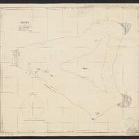
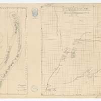
Les îles Lacepède : après un croquis de Capt. Henry et des rapports des Messieurs les Capitaines o. Appen, Christensen, Dudfield, ... / dressé par A. Schück
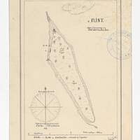
Ile Flint / [dressé par] A. Schück
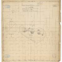
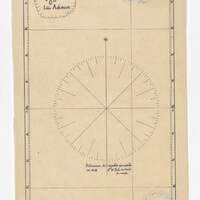
[Isles Ashmore] / [dressé par] A. Schück
Les îles Caroline / dressé d'après une copie des plans de la compagnie de guano par A. Schück ; Récif d'Entrecasteaux, îles Huon et Surprise / après un croquis du Mr. H. Kennard et corrections du Capt. Eriksen de la goëlette danois Louisa, dressées par A. Schück
Mapa Mundi : em projeção azimutal, obliqua e equidistante, tendo como centro a cidado de São Paulo / elaborado por João Soukup
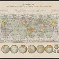
Globuskarte. Weltkarte in teilkarten in einheitlichem flächenmassstabe
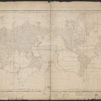
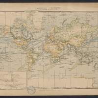
Carte hydrographique des parties connues de la Terre
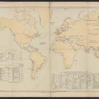
Submarine cable chart of the world
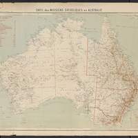
Carte des missions catholiques en Australie / Gravé par R. Hausermann
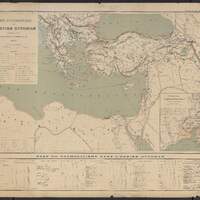
Carte ecclésiastique de l'Empire Ottoman d'après les missiones catolicae / dessiné et gravé par R. Hausermann
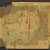
Chart of North Polar regions : compiled from latest sources, including Dr. Nansen's data / by J.G. Bartholomew
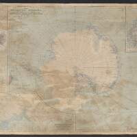
The Antarctic regions / compiled and drawn in the Cartographic section of the National geographic society for the "National geographic magazine"
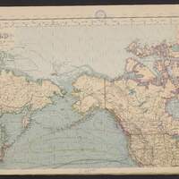
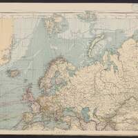
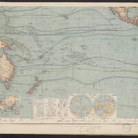
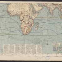
Hermann Berghaus Chart of the World on Mercators Projection / entirely reconstructed by Hermann Habenicht (for the sea) and Bruno Domann (for the land)
Hermann Berghaus Chart of the World on Mercators Projection / entirely reconstructed by Hermann Habenicht (for the sea) and Bruno Domann (for the land)
Hermann Berghaus Chart of the World on Mercators Projection / entirely reconstructed by Hermann Habenicht (for the sea) and Bruno Domann (for the land)
Hermann Berghaus Chart of the World on Mercators Projection / entirely reconstructed by Hermann Habenicht (for the sea) and Bruno Domann (for the land)
Expansion européenne et grandes routes du globe
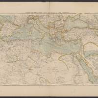
Méditerranée et Afrique du nord
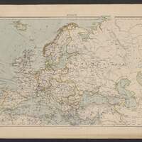
Europe
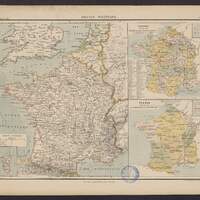
France politique
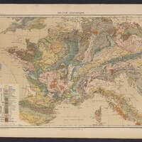
France géologique
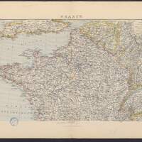
France
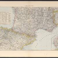
France