Recherche dans les contenus numérisés
2835 items
-
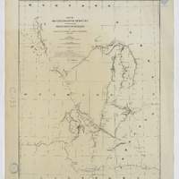
Map of reconnaissances of routes in and leading from the Department of the Platte / by Captain W.S. Stanton, Corps of Engineers 1875 - 76 & 77 ; drawn by R. F. Koehneman...
1:900 000 (W 10730' - W 10230' / N 4530' - N 41) -
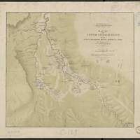
Map of the upper Geyser basin on the upper Madison river, Montana Terr. / after a reconnoissance by Gustavus R. Bechler ; Department of the Interior, U. S. Geological Survey of the territories ; F. V. Hayden, U.S. geologist in charge
[1:10 560], 6 inches to 1 mile (W 11047'--W 11043' / N 4430'--N 4426'). Relief représenté par estompage -
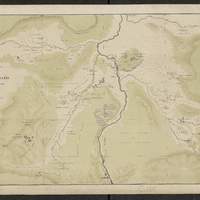
Map of the lower Geyser Basin on the upper Madison river / after a reconnoissance by Gustavus R. Bechler ; Department of the Interior, U.S. Geological Survey of the Territories,...
[1:10 560 env.], Scale 6 inch to 1 mile (W 11049' -- W 11041' / N 4435' -- N 4432'). Relief représenté par estompage et points cotés. Échelle calculée d'après l'échelle graphique -
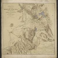
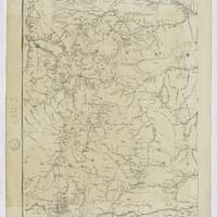
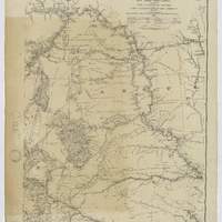
Map of the Yellowstone and Missouri Rivers : and their tributaries / explored by Capt. W. F. Raynolds, Topl. Engrs., and 1st Lieut. H. E. Maynadier, 10th Infy. Assistant, 1859-60 ; revised and enlarged by Major G. L. Gillespie, U.S. Engr's., Bvt. Lt. Col., U.S.A. Chief Engr. Military Division of the Missouri, 1876 ; published by authority of the Hon. the Secretary of War, Office of the Chief of Engineers, U.S. Army, 1876
En bas à gauche : "Western sheet. Map of Yellowstone and Missouri Rivers. From Capt. Raynolds exploration 1859-60, with additions by Major Gillespie. Published by authority of the Hon. the Secretary of War, Office of the Chief of Engineers, U.S. Army. 1877." -
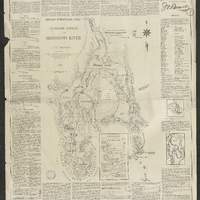
Detailed hydrographic chart of the ultimate source of the Mississippi River / drawn by J.V. Brower, a commissioner, in charge of an expeditionary examination conducted under the authority of the Minnesota State Historical Society, during the year 1889 and thereafter, and also commissioner of the Itasca State Park
Texte de l'auteur autour de la carte. Cartons : Nicollet's source of the Mississippi ; Sketch map of the Itasca Lake region. References given for altitudes, distances, source discoveries, and geographic positions -
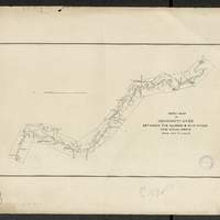
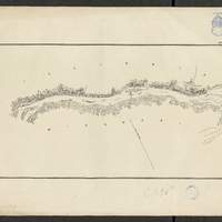
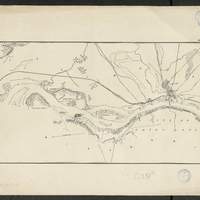
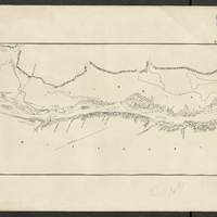
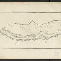
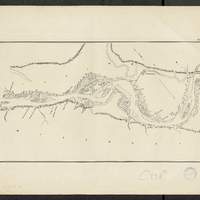
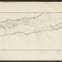
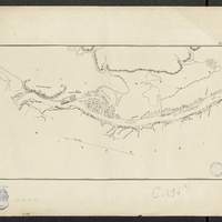
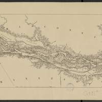
Map of the Mississippi River : between the mouth of the Illinois and the mouth of the Ohio Rivers / reduced from maps made from surveys under the direction of Lt. Col. W.F. Raynolds and Col. Jas. H. Simpson, Corps of Engineers, U.S.A., 1870-1878
[1:63 360] (W 9030' - W 896' / N 3859' - N 3657'). flles libres. Comprends : 1 flle de titre ; 1 flle index map, au 1:506 880 ; 9 flles de cartes numérotées de n1 à n9. Coordonnées géographiques d après Google Earth. Echelle d'après l'information : 1 inch to 1 mile -
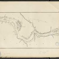
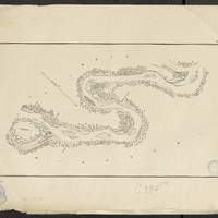
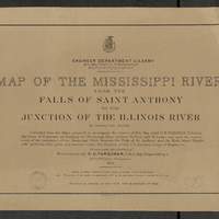
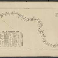
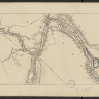
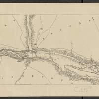
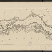
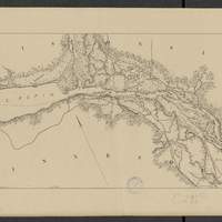
Map of the Mississippi River : from the Falls of Saint Anthony to the junction of the Illinois River in twenty-six sheets / drawn under the direction of Brevet Lieut. Col. F.U. Farquhar ; by F.S. Eastman
[1:63 360] (W 9316' - W 905' / N 45 - N 3850'). "Note : The position of the lights, as establlished in 1877 by the Light-House Board, are indicated on the map.". compiled from the maps prepared to accompany the reports of Bvt. Maj. Gen'l. G.K. Warren, U.S. Army Maj. Corps of Engineers, on bridging the Mississippi river between St. Paul and St. Louis ; and upon the improvement of navigation of the Mississippi River between the Falls of St. Anthony and the Rock Island Rapids, with additions from notes and surveys under the direction of Col. J.N. Macomb, Corps of Engineers. Comprends : 1 flle de titre ; 1 flle de tableau d'assemblage contenant un tableau des distances ; 26 flles de cartes numérotées de "sheet 1" à "sheet 26". Coordonnées géographiques d après Google Earth. Echelle d'après l'information : 1 inch to 1 mile -
Map of the Mississippi River : from the Falls of Saint Anthony to the junction of the Illinois River in twenty-six sheets / drawn under the direction of Brevet Lieut. Col. F.U. Farquhar ; by F.S. Eastman
[1:63 360] (W 9316' - W 905' / N 45 - N 3850'). "Note : The position of the lights, as establlished in 1877 by the Light-House Board, are indicated on the map.". compiled from the maps prepared to accompany the reports of Bvt. Maj. Gen'l. G.K. Warren, U.S. Army Maj. Corps of Engineers, on bridging the Mississippi river between St. Paul and St. Louis ; and upon the improvement of navigation of the Mississippi River between the Falls of St. Anthony and the Rock Island Rapids, with additions from notes and surveys under the direction of Col. J.N. Macomb, Corps of Engineers. Comprends : 1 flle de titre ; 1 flle de tableau d'assemblage contenant un tableau des distances ; 26 flles de cartes numérotées de "sheet 1" à "sheet 26". Coordonnées géographiques d après Google Earth. Echelle d'après l'information : 1 inch to 1 mile

