Recherche dans les contenus numérisés
2835 items
-
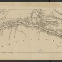
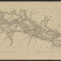
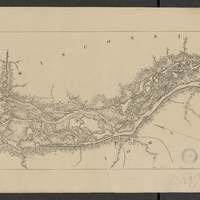
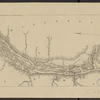
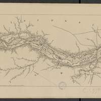
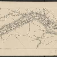
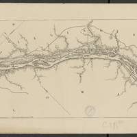
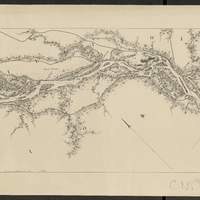
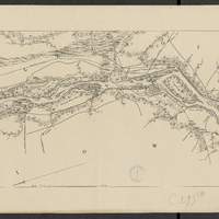
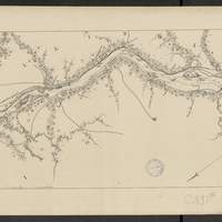
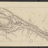
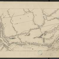
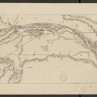
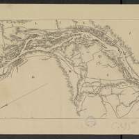
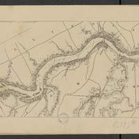
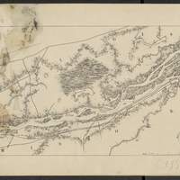
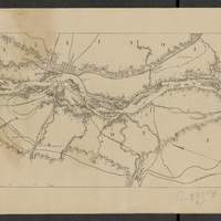
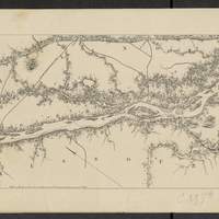
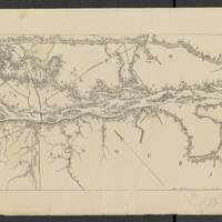
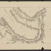
Map of the Mississippi River : from the Falls of Saint Anthony to the junction of the Illinois River in twenty-six sheets / drawn under the direction of Brevet Lieut. Col. F.U. Farquhar ; by F.S. Eastman
[1:63 360] (W 9316' - W 905' / N 45 - N 3850'). "Note : The position of the lights, as establlished in 1877 by the Light-House Board, are indicated on the map.". compiled from the maps prepared to accompany the reports of Bvt. Maj. Gen'l. G.K. Warren, U.S. Army Maj. Corps of Engineers, on bridging the Mississippi river between St. Paul and St. Louis ; and upon the improvement of navigation of the Mississippi River between the Falls of St. Anthony and the Rock Island Rapids, with additions from notes and surveys under the direction of Col. J.N. Macomb, Corps of Engineers. Comprends : 1 flle de titre ; 1 flle de tableau d'assemblage contenant un tableau des distances ; 26 flles de cartes numérotées de "sheet 1" à "sheet 26". Coordonnées géographiques d après Google Earth. Echelle d'après l'information : 1 inch to 1 mile -
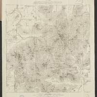
Map of the White Mountains of New Hampshire
Map of the Appalachian Mountain Club -
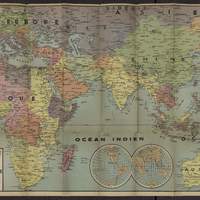
Carte d'actualité n°12 Édé : Europe - Asie - Afrique - Océanie
[1:17 000 000 env.] (W 19 - E 149 / N 57 - S 36). Papier enserrant la carte pliée : Carte "Édé" n12. Une vue d'ensemble de tous les fronts. Coordonnées géographiques d après Google Earth. Echelle calculée par comparaison avec une carte d échelle connue -
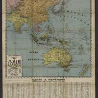
Carte à repérage Édé : n°27 : Asie - Océanie - Pacifique
Index au bas de la carte : "Nomenclature des fleuves, villes, lacs, etc...". Papier enserrant la carte pliée : Carte "Édé" n27 à repérage permettant de situer instantanément toute ville, fleuve, lac, etc. Avec répertoire alphabétique de 2 000 noms géographiques. Coordonnées géographiques d après Google Earth. Echelle calculée par comparaison avec une carte d échelle connue -
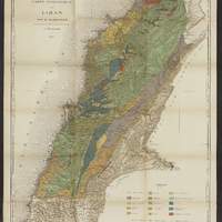
Carte géologique du Liban / par G. Zumoffen,...
"Etablie sur la Carte du Liban du S.G.A.". Relief représenté par des hachures. Extr. de : "Géologie du Liban / par G. Zumoffen.". Coordonnées de longitude converties du méridien de Paris au méridien de Greenwich

