Accueil
Les collections
Les revues savantes
Les cartes
Histoire de l'Université
Recherche
Recherche dans les contenus numérisés
2835 resources
de 114
2626–2650 sur 2835
Trier par
Pertinence
Titre (A-Z)
Titre (Z-A)
Date (+récent d'abord)
Date (+ancien d'abord)
liste
|
grille
2835 items
Les Alpes
Suisse
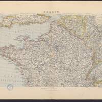
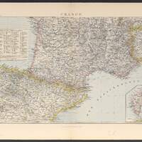
France
France
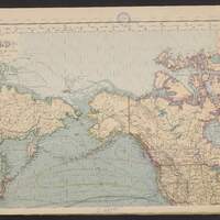
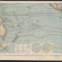
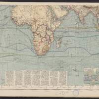
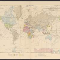
Hermann Berghaus Chart of the World on Mercators Projection / entirely reconstructed by Hermann Habenicht (for the sea) and Bruno Domann (for the land)
Hermann Berghaus Chart of the World on Mercators Projection / entirely reconstructed by Hermann Habenicht (for the sea) and Bruno Domann (for the land)
Hermann Berghaus Chart of the World on Mercators Projection / entirely reconstructed by Hermann Habenicht (for the sea) and Bruno Domann (for the land)
Hermann Berghaus Chart of the World on Mercators Projection / entirely reconstructed by Hermann Habenicht (for the sea) and Bruno Domann (for the land)
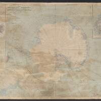
The Antarctic regions / compiled and drawn in the Cartographic section of the National geographic society for the "National geographic magazine"
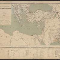
Carte ecclésiastique de l'Empire Ottoman d'après les missiones catolicae / dessiné et gravé par R. Hausermann
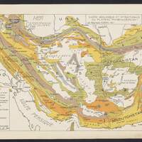
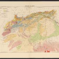
Carte géologique et structurale du plateau iranien au 1:5 000 000 / par Raymond Furon, 1940
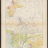
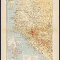
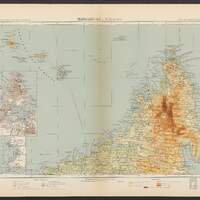
Afrique équatoriale française et Cameroun
Afrique équatoriale française et Cameroun
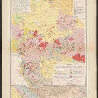
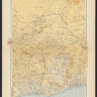
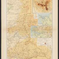
Afrique occidentale française et Togo
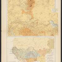
Afrique équatoriale française
Afrique occidentale française
Afrique occidentale française
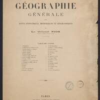
Atlas de géographie générale avec notes statistiques, historiques et géographiques
Planisphère
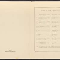
Tableau des signes conventionnels
Madagascar
Afrique du nord
Atlas des colonies françaises
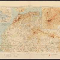
Sahara
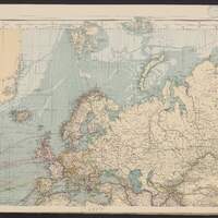
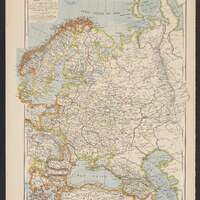
Russie, Suède et Norvège