
Recherche dans les contenus numérisés
944 items
-
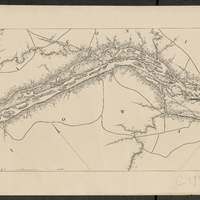
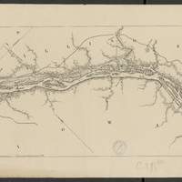
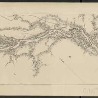
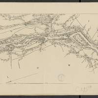
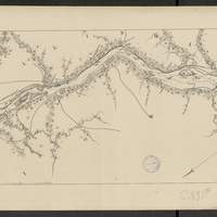
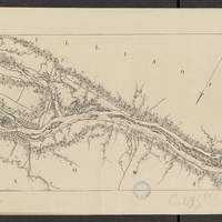
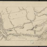
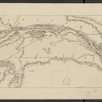
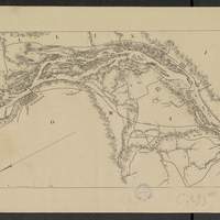
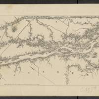
Map of the Mississippi River : from the Falls of Saint Anthony to the junction of the Illinois River in twenty-six sheets / drawn under the direction of Brevet Lieut. Col. F.U. Farquhar ; by F.S. Eastman
[1:63 360] (W 9316' - W 905' / N 45 - N 3850'). "Note : The position of the lights, as establlished in 1877 by the Light-House Board, are indicated on the map.". compiled from the maps prepared to accompany the reports of Bvt. Maj. Gen'l. G.K. Warren, U.S. Army Maj. Corps of Engineers, on bridging the Mississippi river between St. Paul and St. Louis ; and upon the improvement of navigation of the Mississippi River between the Falls of St. Anthony and the Rock Island Rapids, with additions from notes and surveys under the direction of Col. J.N. Macomb, Corps of Engineers. Comprends : 1 flle de titre ; 1 flle de tableau d'assemblage contenant un tableau des distances ; 26 flles de cartes numérotées de "sheet 1" à "sheet 26". Coordonnées géographiques d après Google Earth. Echelle d'après l'information : 1 inch to 1 mile -
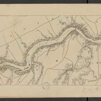
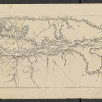
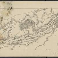
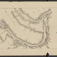
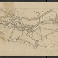
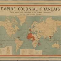
Empire colonial français : Faire aimer nos colonies en les faisant connaître / Ligue Coloniale française
[1:28 000 000 env.] (W 180 - E 180 / N 77 - S 60). Cadre de la carte en bleu-blanc-rouge. En cartouches figure : commerce comparé 1871-1912. En cartouches figure : superficie et population des colonies françaises, comparaison 1871-1912. "Dressée pour la Ligue Coloniale française". Indique les colonies françaises en rouge sur un planisphère, et les principales routes maritimes pour y parvenir. Echelle calculée par comparaison avec une carte d échelle connue -
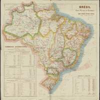
Brésil : carte politique et économique / publiée par la Mission brésilienne d'expansion économique
Tableaux : "Commerce international en 1906 et 1907" et "Superficie et population.". Légende en français. Coordonnées géographiques converties du méridien de Rio de Janeiro au méridien de Greenwich. Relief représenté par estompage -
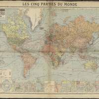
Les cinq parties du monde : planisphère comprenant toutes les possessions coloniales, chemins de fer, lignes de navigation, principales lignes télégraphiques, câbles / A. Taride
Carton : 15 zones du monde détaillées. Cartons : Pôle nord au 1:60 000 000 et du Pôle sud au 1:120 000 000. Carton : Principales lignes télégraphiques et cables sous-marins
Vous avez atteint la fin de la liste de résultats pour cette recherche au sein de la description des
documents. Si vous le souhaitez, vous pouvez lancer une recherche sur le contenu des documents numérisés pour aller plus
loin : relancer la recherche au sein des documents
numérisés