Accueil
Les collections
Les revues savantes
Les cartes
Histoire de l'Université
Recherche
Recherche dans les contenus numérisés
335 resources
de 14
276–300 sur 335
Trier par
Pertinence
Titre (A-Z)
Titre (Z-A)
Date (+récent d'abord)
Date (+ancien d'abord)
liste
|
grille
335 items
Long Loc
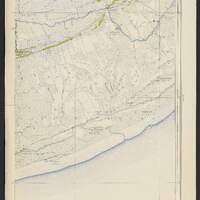
Ba Dong
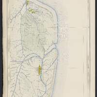
Huu Hoa
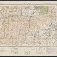
Hanmer
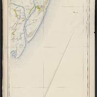
O Lac
O Lac
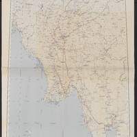
Asia transportation map 1:2,000,000 / prepared under the direction of the Chief of Engineers by the Army Map Service
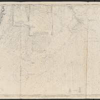
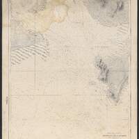
Koronge island to White Pt. : including the gulf of Martaban / compiled and drawn by R.C. Carrington, ...
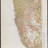
Land utilization map of Ceylon / drawn & printed by Survey department Ceylon
Land utilization map of Ceylon / drawn & printed by Survey department Ceylon
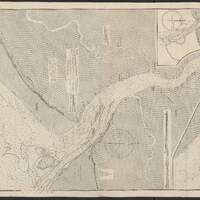
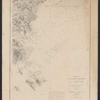
Mer de Chine. Cochinchine. Abords du Cap Saint-Jacques
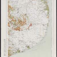
India (Sheet 3) - East Coast. Cape Comorin to Cocanada
Burma-Gulf of Martaban. Rangoon River and approaches
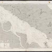
Détroit de Malacca de Pulo Berhala aux South Sands
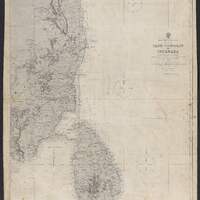
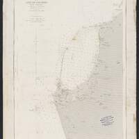
Île de Ceylan. Port de Colombo et ses approches
Détroit de Malacca des South Sands à Singapour
Mer de Chine. Plan de la rade de Singapoure
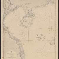
China Sea, Northern Portion, Western Sheet
China Sea, Southern Portion, Western Sheet
China Sea, Northern Portion, Eastern Sheet
Mer des Indes. Île de Ceylan partie sud
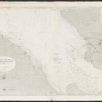
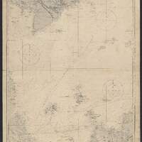
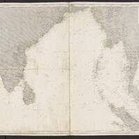
Océan Indien. Golfe du Bengale
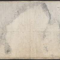
Indian Ocean. Bay of Bengal
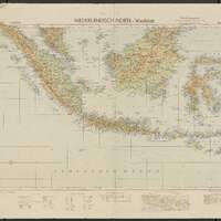
Niederlandisch Indien
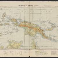
Niederlandisch Indien